

Garanohur Lake Hiking Route
Garanohur Lake Hiking Route
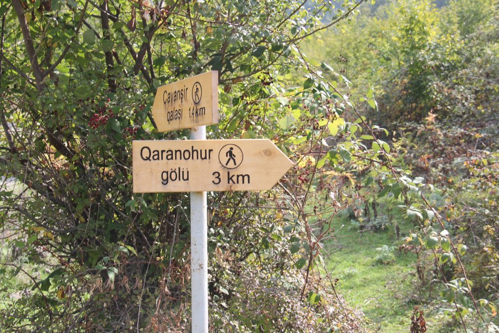
Today’s hiking route is to one of the beautiful mountain lakes of Azerbaijan. It is Garanohur. This beautiful lake has become famous in the recent years especially thanks to the frequent visits of ecotourism companies. The lake is situated near the Talistan village of Ismailli region. Ismailli region is about 2.5 hours’ drive from Baku. There is another trail taking to this lake from a nearby village Dialli. The route from Talistan village to the lake is through the Shahdag national park whereas an offroad car road exists from Dialli village to a nearest point of the lake. Some ecohiking groups use the second trail while returning from the lake however it takes longer and passes through plain and open areas.
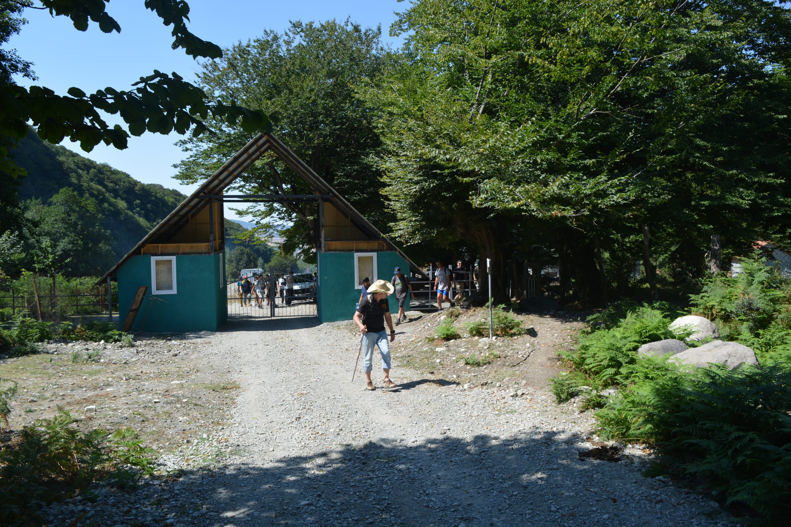
The route from Talistan village starts from the entrance of Shahdag national park after buying tickets and it is about 5-6 km to the lake from this point.

There is a significant elevation difference between the starting point and the lake. We start our hiking from 900m from sea level and walk up to 1520m which is the elevation level of Garanohur lake. Hence, there is approximately 600m elevation difference and you start to feel it as you put your first steps on the trail.
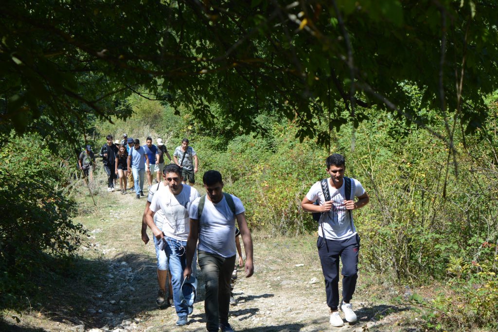
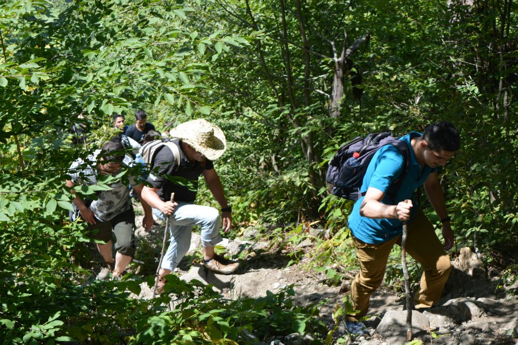
In the first part of the trail, even some cars are allowed to enter but they cannot go so far as after a certain point trail becomes narrower that only people can use it. Along the route we pass through a river which becomes so dry in August in drought periods of the month. We continue along the route from this point and walk through forests and trees specific to the national park. Yet this is the easy part to walk. We arrive in another river from here we enter dense forest part and trail becomes a little steep upward.
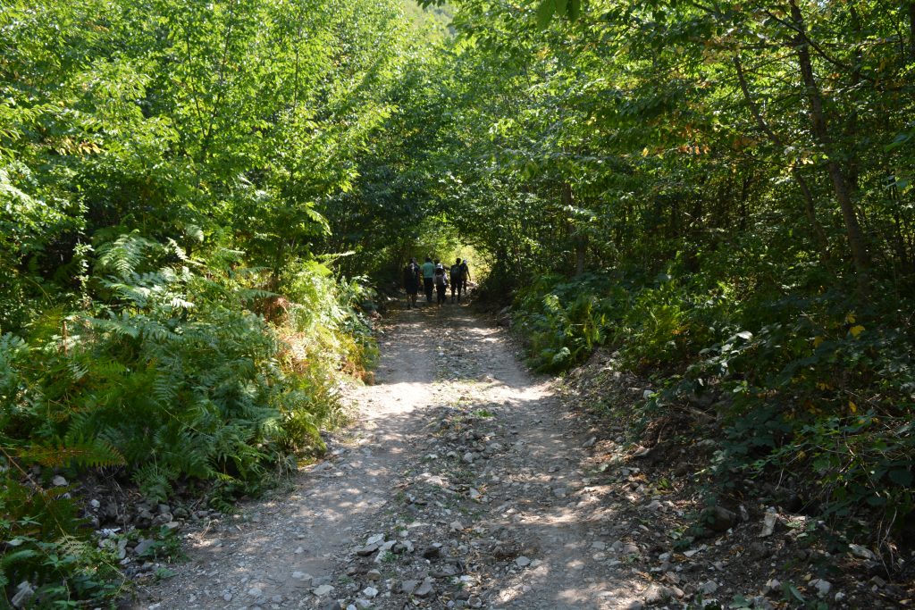
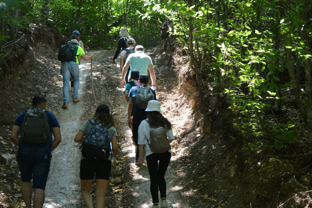
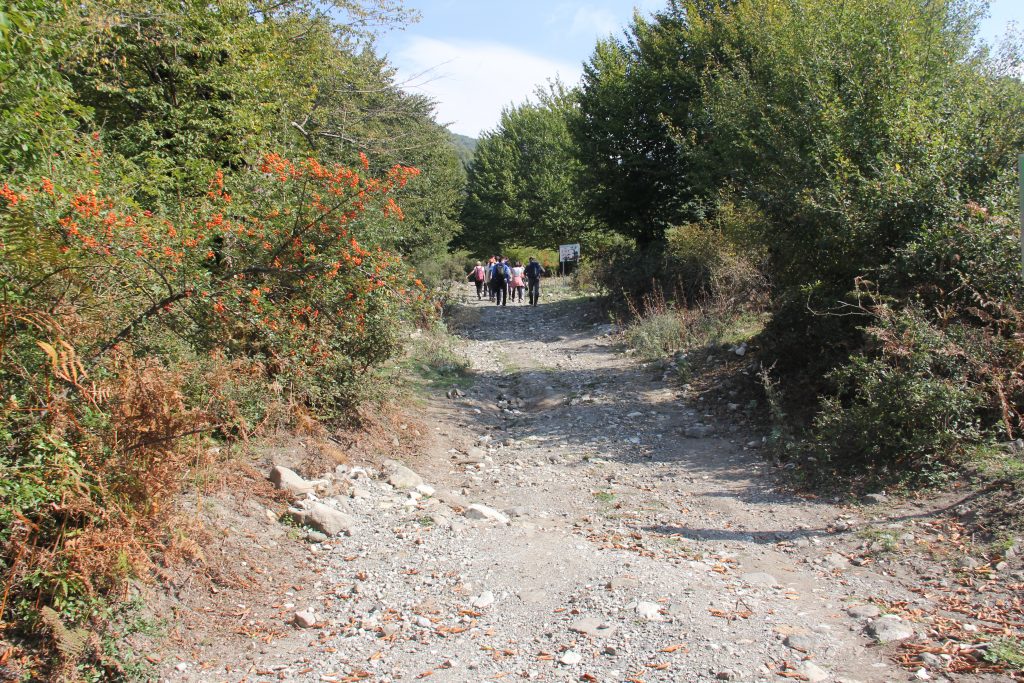
We continue walking through the forest and it helps to hide from intense sunlight in hotter days. Going out of the forest we reach the riverbed and through it a little and pass over to an open area. From here, we walk near a tall wall with magnificent view of a mountain.
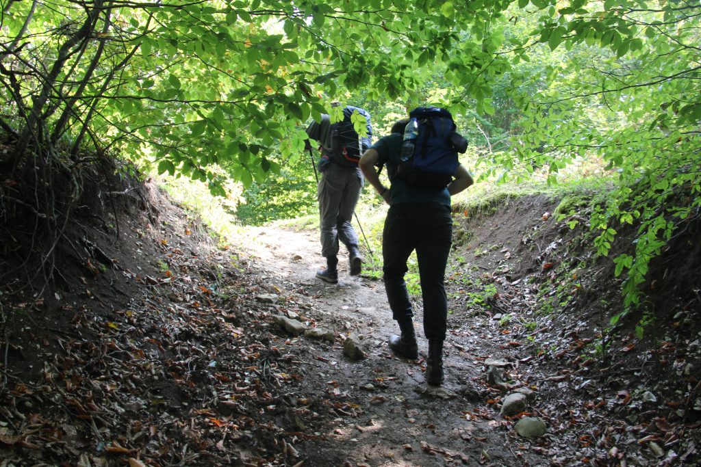
Further, the trail we get to step on big rocks brought by strong floods. In some parts passing through the riverbed we reach to a point where we rest and store energy before we start to climb the steep and difficult part of the route. From here to the lake, it is about 600 meters distance but elevation is quite high approximately 300 meters.
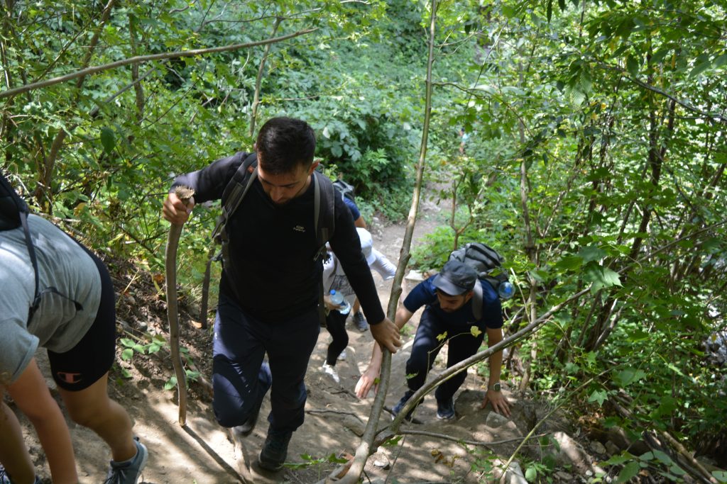
Thanks to the national park personnel, wooden handrails are installed along this part. Nevertheless, I have to note that several of these have already fallen down due to frequent use and you will have some difficulty passing through some short parts.

Also frequent use of the trail in summer months disappear the natural stairs out of soil and you slip often as you walk up. With a strong and fast group it takes about an hour to climb this part up to the lake but with a group in which slow people dominate it may take 1.5-2 hours to reach the lake.
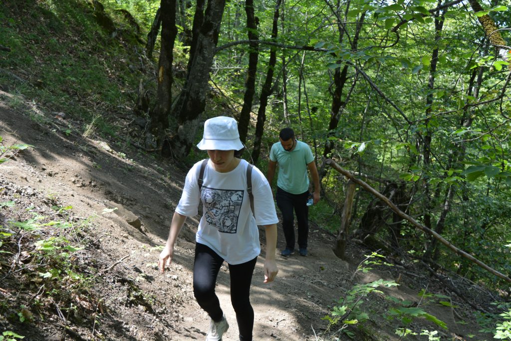
As in many other outdoor walking activities it is recommended to use hiking sticks to ensure comfortable and safe walk. No need to emphasize that appropriate clothing is also essential to enjoy your hike regardless of the weather. Finishing this steep and difficult part we arrive at the lake.
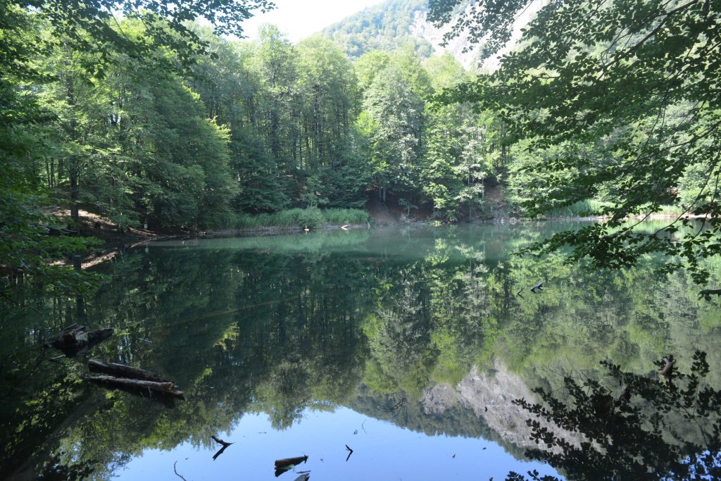
Garanohur is surrounded with forests. It has beautiful view in all of the seasons. Being in a high elevation seasons come early here. For instance when it is golden fall here, it maybe still summer down in the city. Therefore, I suggest visiting this lake at in at least 3 seasons, fall, winter and summer.
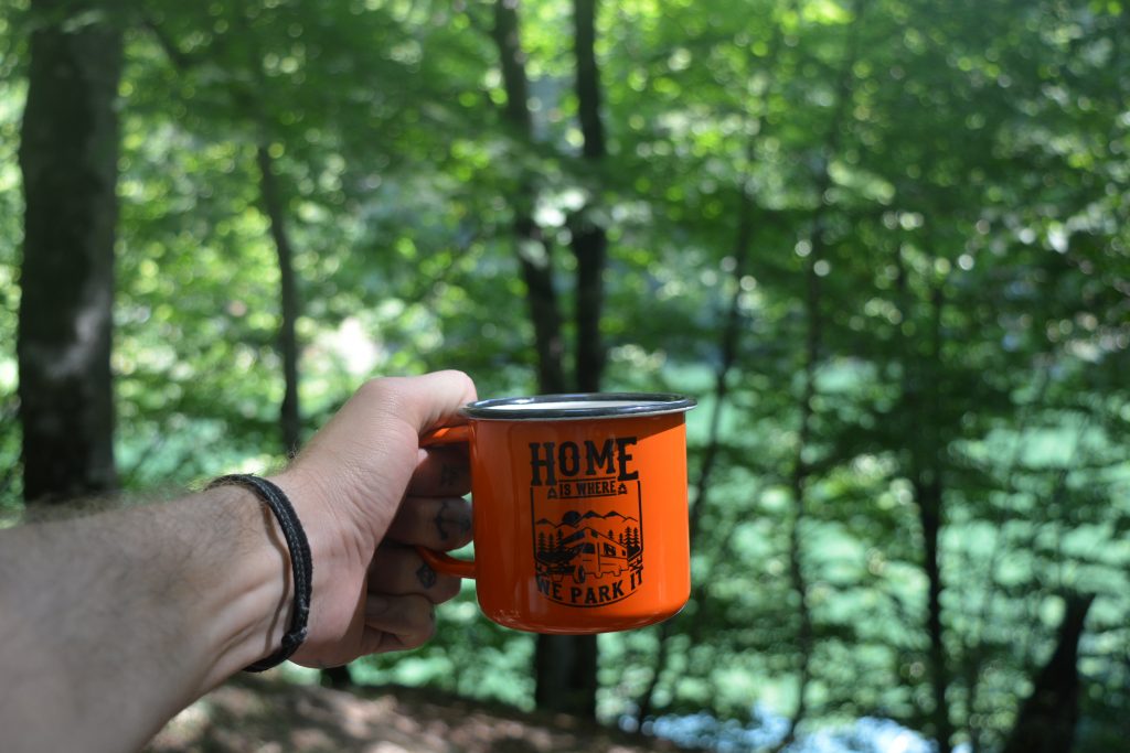
Arriving at the lake there are several things you can do. You can lay down first to get rid of your tiredness and take a short nap. Many people prefer to make tea there. Drinking tea by the lake view in such an elevation is not something one can refuse.
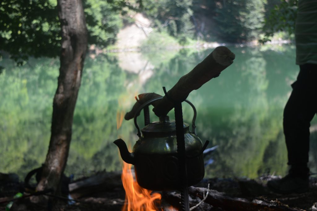
There is a river near the lake to get water for tea. Mobile connection is weak by the lake but you can make a call. If you have not lost much time coming up to the lake you can spend 2-3 hours to rest around the lake before you go down. In winter months, as the days become shorter you should not stay much but approximately one hour and then go back. Going down the steep part is about 40-1 hour minutes with average speed. If there are people moving slowly it can take longer. As I mentioned, Garanohur lake trail is two way hiking route, as you come the same way back. Overall walking distance is 11-12 km and the difficulty of the route is considered difficult.